Home
About Us
The River
Water Quality
River Cleanup
French River Greenway
Perryville Trace
Leovich Landing
French River Park
Webster Riverwalk
Archives
Membership
Contact Us
Notices
French River Connection
The River
Credit USGS
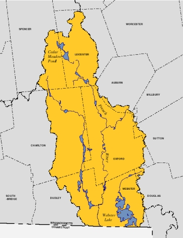
The French River is a major tributary of the Quinebaug River and extends 26 miles from its source in Leicester MA to its confluence with the Quinebaug in Thompson, CT. The French River watershed includes ten Massachusetts Communities.
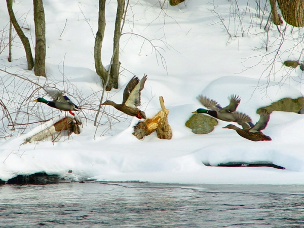
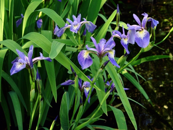
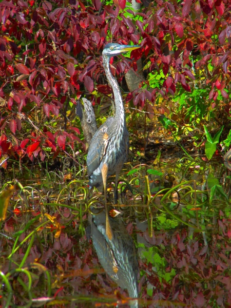
After passing through the Army Corps Hodges Village project in Oxford, a dry bed flood control reservoir, and a long, secluded, narrow reach, the river enters a broad, wild area bordered by marshes and coves, providing significant wildlife habitat. Farther south, near north dam and the historic Webster North Village, the river becomes the border of Dudley, a primarily rural and residential community, and Webster, the original American mill town founded by Samuel Slater. Here the river is channelized and bordered by industrial complexes, and its waters are classified as impaired. South of the Webster town center, the river again enters a wooded corridor, passes the wastewater treatment plant and the historic Perryville area with its granite block dam, and exits the state.
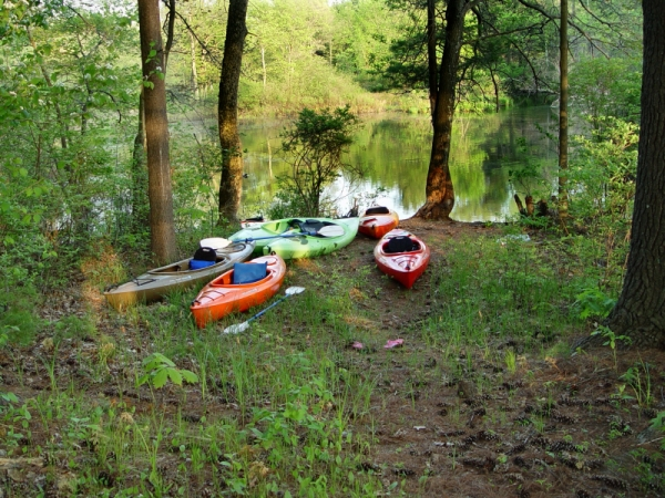
Although once heavily polluted by industry, the French River below Mill Brook has now had decades to recover. The relatively unpolluted area above Mill Brook is enjoyed by paddlers and fishermen, despite limited access. However, as the “backyard” of both Webster and Dudley, much of the river continues to be ignored and degraded rather than enjoyed and protected.
The French River Connection has completed a Shoreline Survey of the river between Greenbrier Park in Oxford and the Connecticut line. The Survey results are implemented in Google Maps. Click on any section of the map to see a Narrative Description, Recommended Actions, and the Survey Data
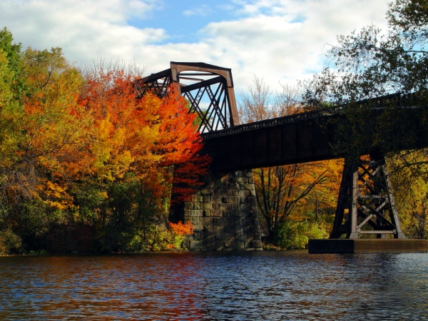
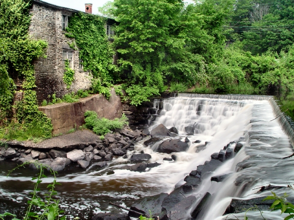
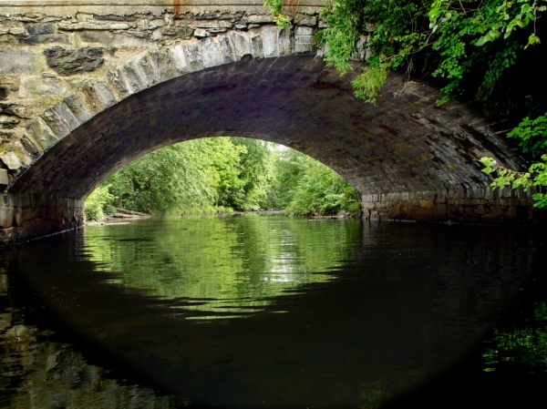
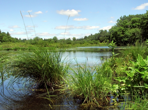
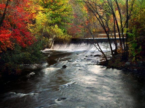
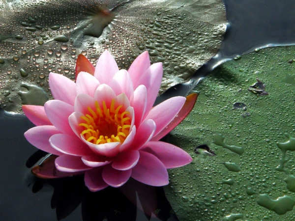
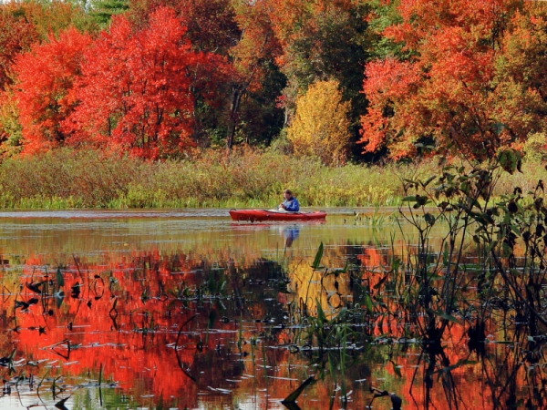
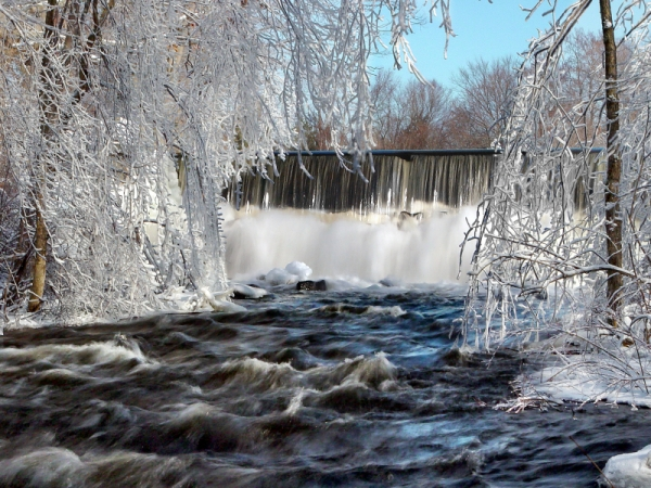
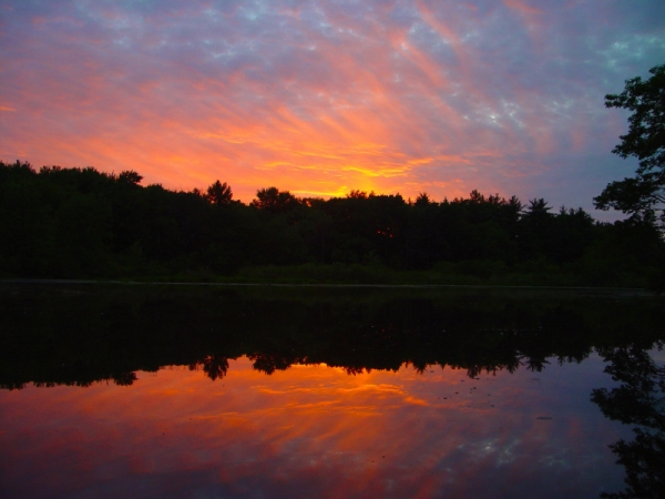
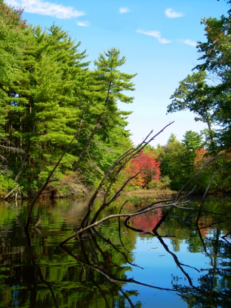
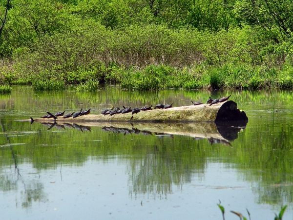
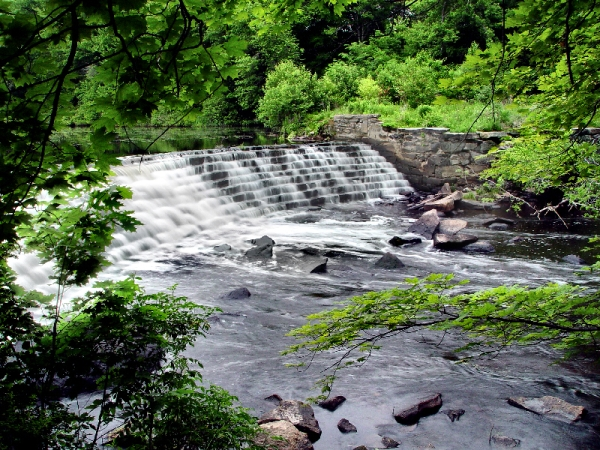
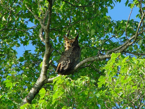
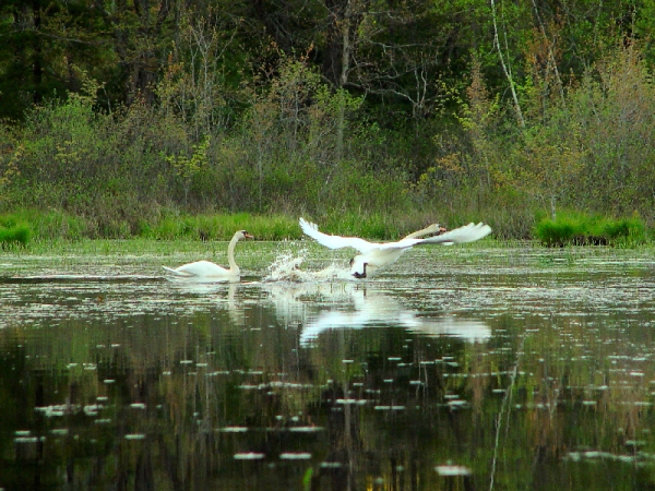
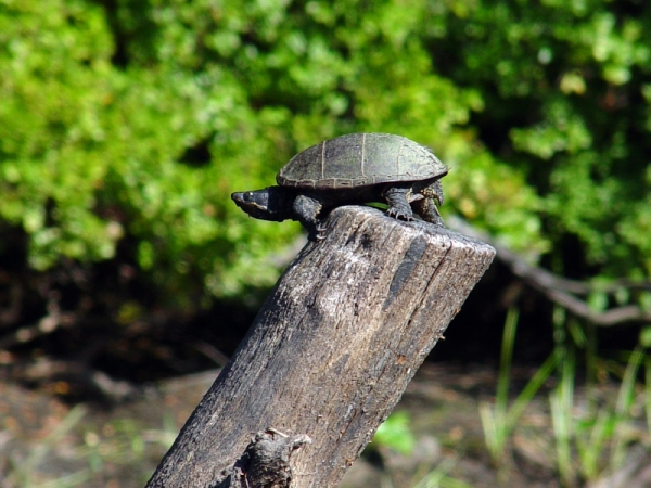
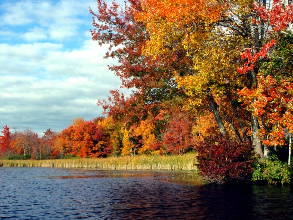
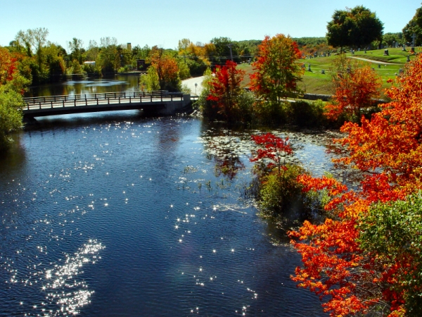
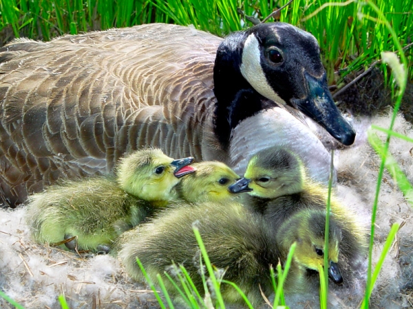
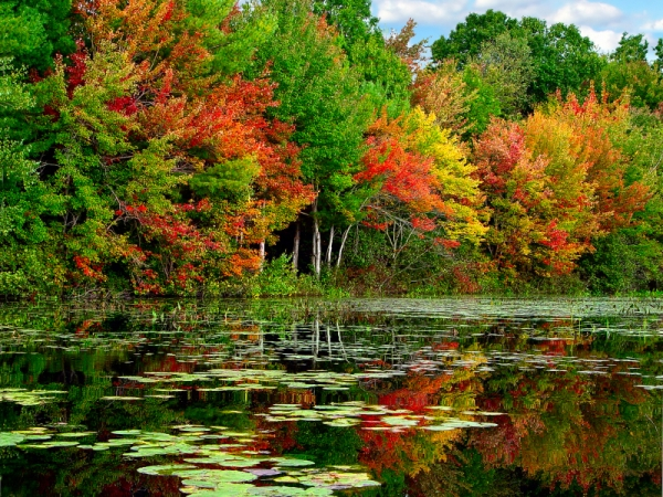
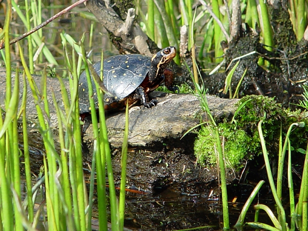
These photos, by French River Connection co-founder Alan Dabrowski, provide a sense of the beauty and life of the river which is rarely seen. Click on a photo for a larger image. Use the controls on each side to go forward or back